Difference between revisions of "Vyssi Brod"
Jump to navigation
Jump to search
| Line 68: | Line 68: | ||
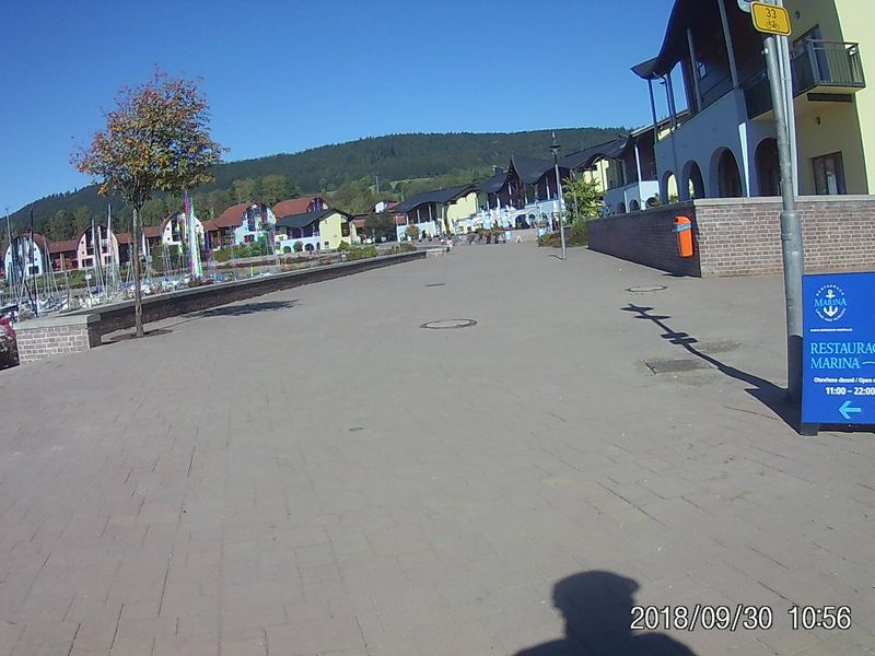
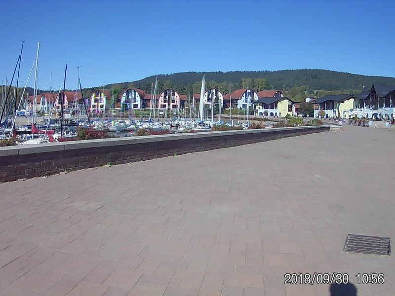
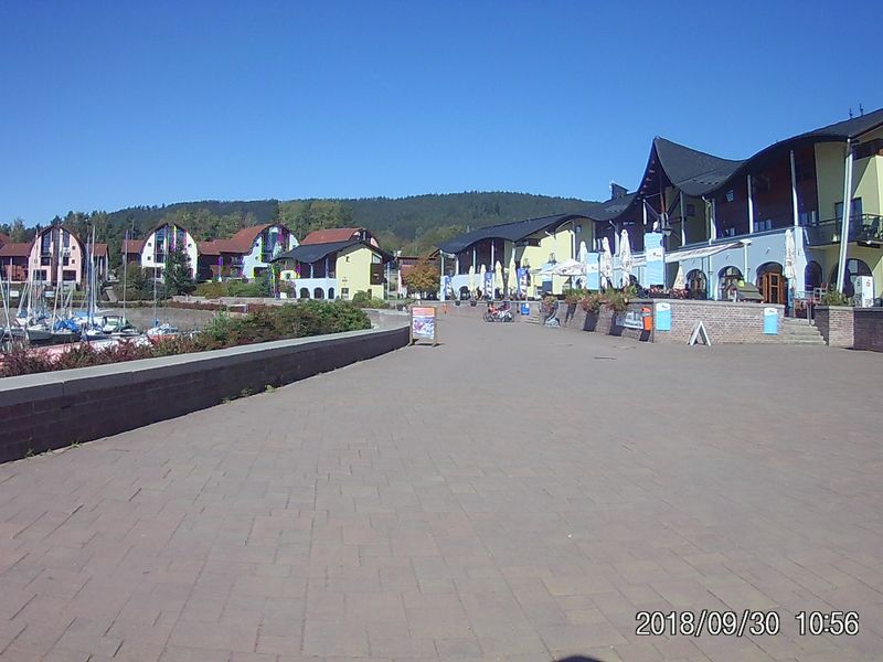
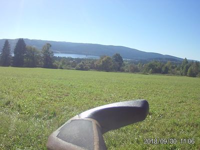
| − | [[File: | + | [[File:20180930_110635.JPG|800px]] |
| Line 74: | Line 74: | ||
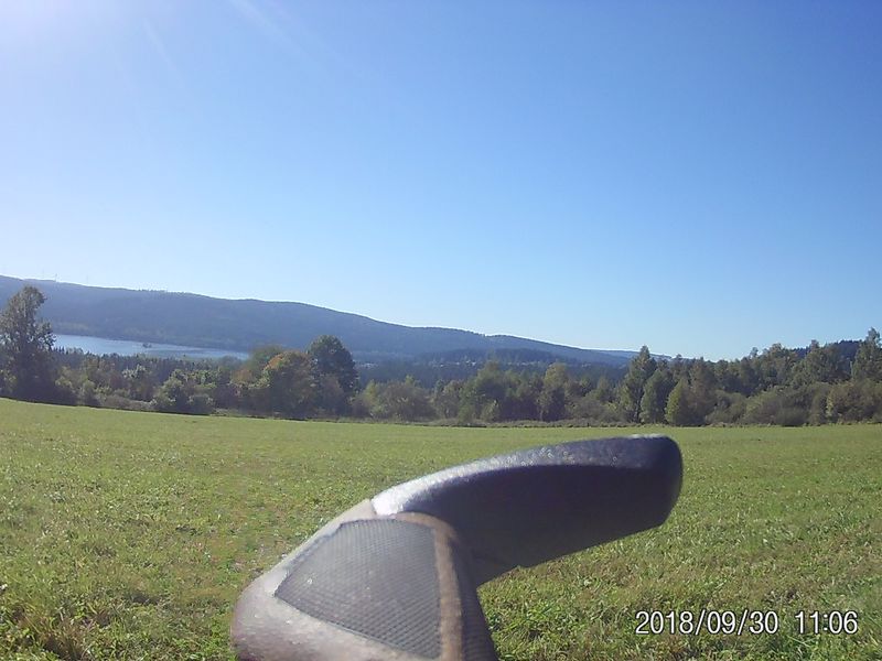
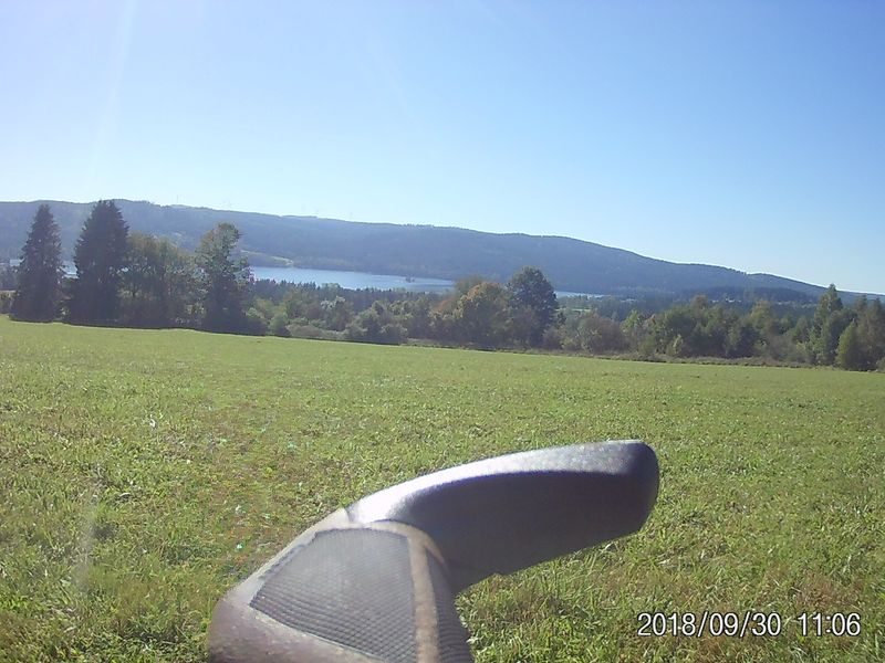
| − | [[File:20180930_110633.JPG|400px]] | + | [[File:20180930_110633.JPG|400px]] [[File:20180930_110639.JPG|400px]] |
Revision as of 10:32, 26 April 2020
- https://de.wikipedia.org/wiki/https://www.windfinder.com/#13/48.6025/14.3030
- https://en.wikipedia.org/wiki/https://www.windfinder.com/#13/48.6025/14.3030
Weather
https://www.windfinder.com/forecast/VyssiBrod
Stay
https://www.booking.com/hotel/cz/a-umava.de.html Hotel Šumava
Tour
Vyssi Brod to Horni Plana Vyssi Brod→České Žleby (43 km Vyssi Brod to Horni Plana) →České Žleby
What Links Here
Information about the Vyšší Brod
in German: Vyšší Brod
in Englich: Vyšší Brod
- Vyšší Brod is located in the South Bohemia region at the confluence of the Menší Vltavice and the Molday.
Tour
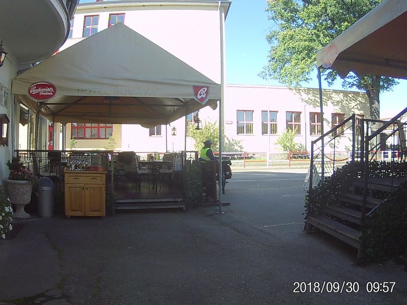
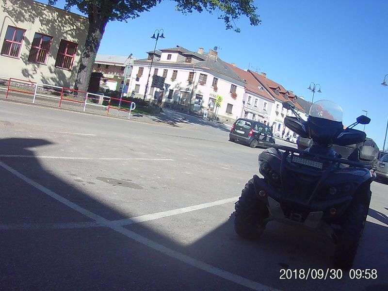
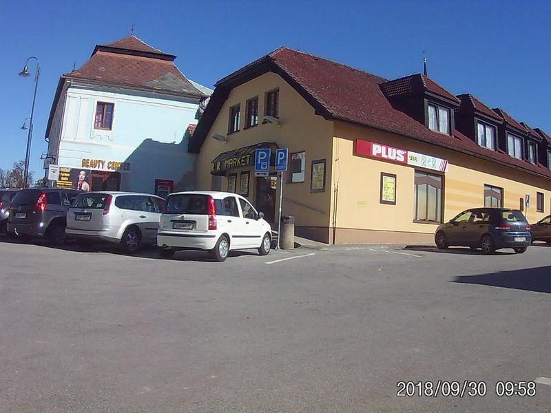
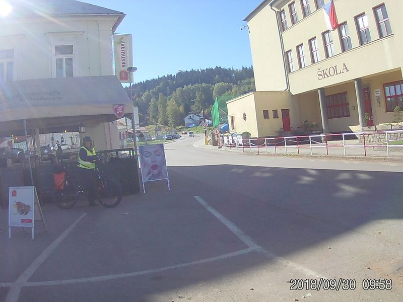
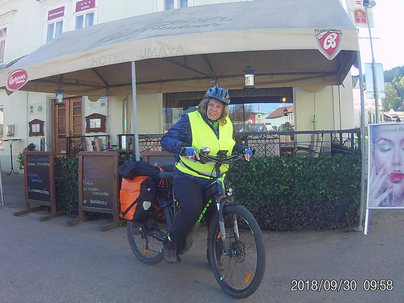
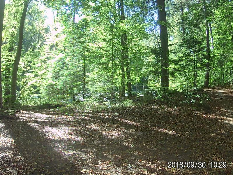
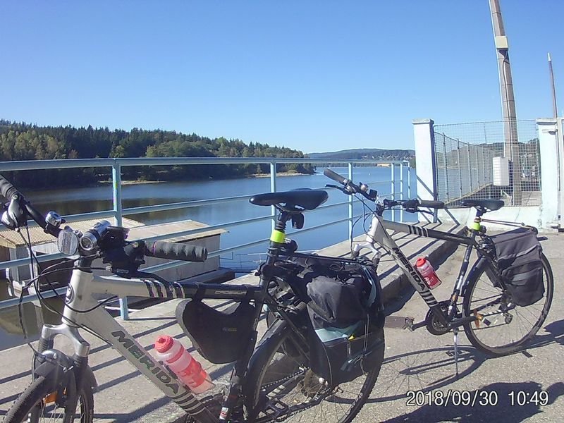
Next morning 2018-09-30 after breakfast we leave Hotel Šumava in Vyšší Brod / Czech Republic
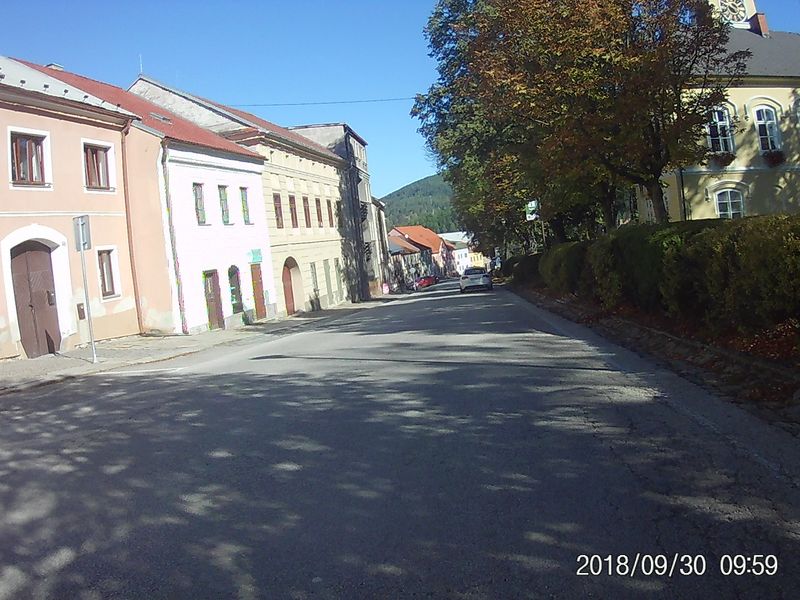
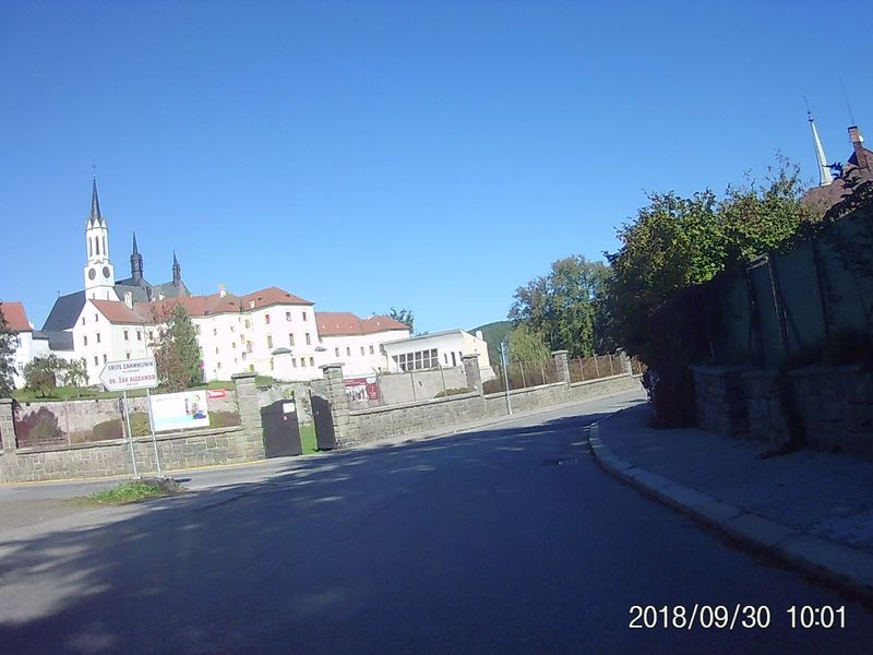
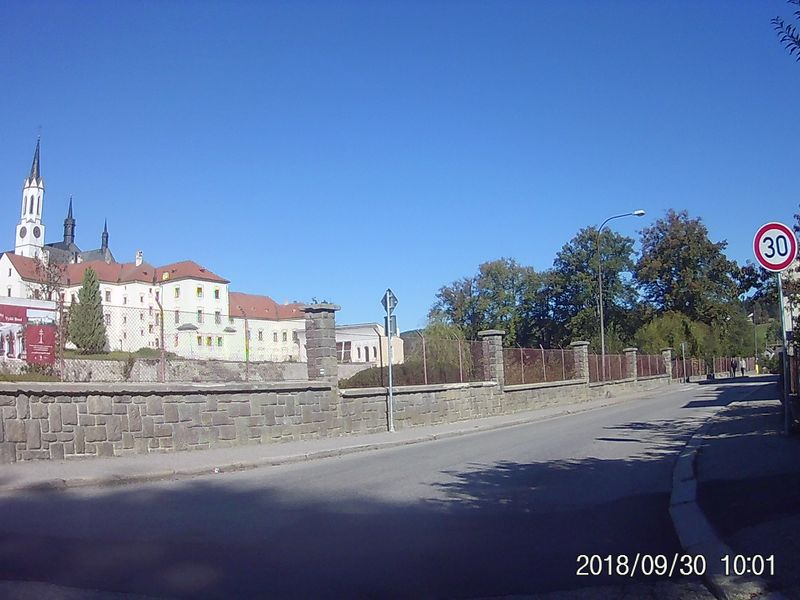
Vyšší Brod
along the Stausee Lipno
- Teil 1 Vyssi Brod - Horni Plana: 43 km, 861 m rauf, 659 runter oder
- bis Cerna v Posumovi mit Ladehalt in einem Restauarnt am See
- Teil 2 Horni Plana - Ceske Zleby: 28 km , 400m rauf, 244m runter von Horni Plana mit dem Zug bis Stožec
